Contact KSN.org

Finding Fossils Pages
Cori's Fossil Map
Brownie's Beach
Flag Ponds
Calvert Cliffs State Park
Purse State Park
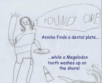 Brownie's Beach (also known as Randle Cliffs, or, its official name, BayFront Park) is a great beginner's spot for finding shark teeth. It's only an hour's
drive from DC (located just south of the town of Chesapeake Beach), and
always seems to have plenty of teeth (although they seem to be, on average, smaller than
at other sites). We have generally found between 50-100 teeth with a couple of hours
of casual looking, interspersed with playing with the kids.
Brownie's Beach (also known as Randle Cliffs, or, its official name, BayFront Park) is a great beginner's spot for finding shark teeth. It's only an hour's
drive from DC (located just south of the town of Chesapeake Beach), and
always seems to have plenty of teeth (although they seem to be, on average, smaller than
at other sites). We have generally found between 50-100 teeth with a couple of hours
of casual looking, interspersed with playing with the kids.Brownie's is not really marked, but it's easy enough to find. Just head down Route 4 from the Beltway (495) and get off at the very well-marked exit for Route 260 (towards the towns of North Beach and Chesapeake Beach). 260 dumps you right into Chesapeake Beach, with a beautiful view of the bay as you approach town. Turn right on Route 261, and just after you leave the town, you go down a little hill, at the bottom of which is an unmarked dirt driveway and parking lot on the left. You reach the beach via a short walk through a coastal marshy forest. The beach here is typically short and narrow, but there is more space to spread out than at Calvert Cliffs. As with other sites, the cliffs are unstable, and you are warned to stay away to avoid being squashed.
At Brownie's, you are amidst the oldest part of the Calvert cliffs, a layer known as the Calvert Formation. The deposits here are roughly 18-22 million years old. For more info on Brownie's, check out this page from the Calvert Marine Museum's web site.
Find more fossil sites on Cori's Fossil Map.